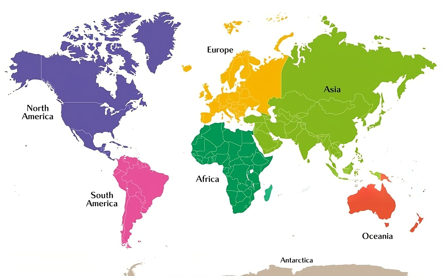
Country borders are subtly outlined within each continent, making the map easy to read while maintaining a simple, visually appealing design. The map is presented on a white background, emphasizing clarity and contrast, and is suitable for educational, informational, or reference use on websites related to geography, travel, global studies, or learning resources.